
We manually annotated the following KITTI sequences to create the intersection topology ground truth, associating, for each frame of each sequence, the corresponding topology, along with a flag that indicates whether the vehicle is within an intersection.
Follow this link to download our training set.
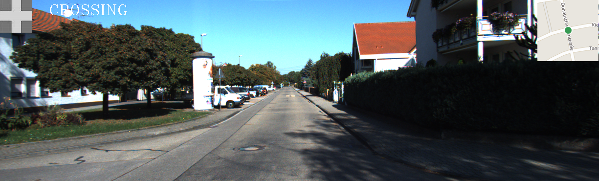
The annotated topologies are:
 |
 |
 |
 |
 |
 |
 |
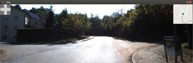
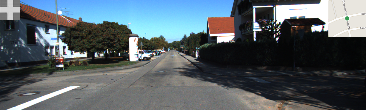
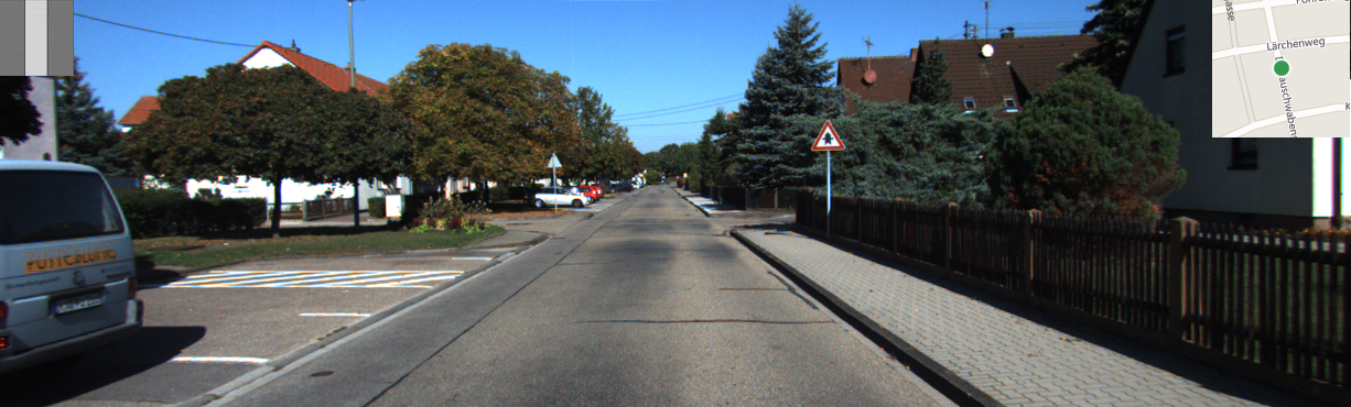
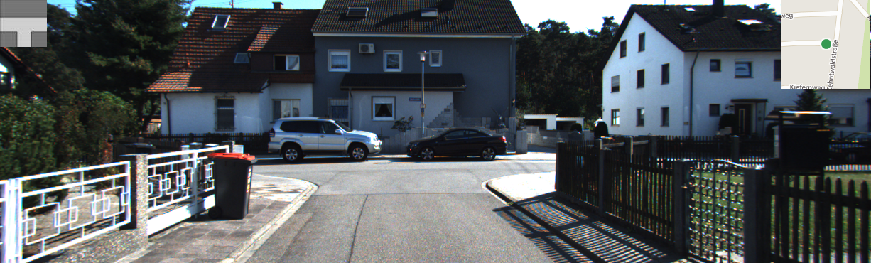
| 0 | 1 | 2 | 3 | 4 | 5 | 6 |
We set the "crossing flag" when the vehicle is moving within the intersection boundaries. We use the flag to make it clear when the topology "is hidden" by the vehicle being into the intersection.
The topology label [0-6] is set only when the vehicle is approaching the intersection, i.e., when it is less than 30 meters from the intersection.
We define as intersection point the OpenStreetMap point (node in OSM parlance) shared by two or more segments (ways in OSM parlance), for topologies [3-6]. On the other hand, for topologies [1-2] the class is set when the curve determining the class is clearly visible.
The ground truth dataset is composed of the following KITTI sequences:
| 2011_10_03_drive_0027 KITTI Residential |
notes: frames 1045-1072 are not classified as crossing (little service road) frames 2067-2129 contain a peculiar multiple crossing area |
| 2011_10_03_drive_0034 KITTI Residential | |
| 2011_09_30_drive_0018 KITTI Residential |
notes: frames 1593-1617 are not classified as crossing (small walkway) frames 2231-2254 are not classified as crossing (small walkway) |
| 2011_09_30_drive_0020 KITTI Residential | |
| 2011_09_30_drive_0027 KITTI Residential | |
| 2011_09_30_drive_0028 KITTI Residential |
notes: frames 936-998 contain a double crossing area, the distances are related to the farthest OSM point |
| 2011_09_30_drive_0033 KITTI Residential |
notes: frames 556-573 are not classified as crossing (small walkway) |
| 2011_09_30_drive_0034 KITTI Residential |
Each file contains the following information, in a CSV file format:
frame_number ; distance from the nearest crossing [m] ; crossing topology [0-6] ; in-crossing flag [0-1]
We also include a single file containing all the frames. Here an example:
frames_topology.txt, from sequence number: 2011_10_03_drive_0027_sync

0000000000;89.0056;0;0
0000000001;89.0056;0;0
0000000002;88.5494;0;0
0000000003;87.6584;0;0
0000000004;86.7698;0;0
...
...
Examples:
0000000000;10.4403;6;0
frame number: 0
distance from crossing center (from OpenStreetMap): 10.4403 m
crossing topology: 6
in-crossing flag: false
0000000086;32.7567;0;0
frame number: 86
distance from crossing center (from OpenStreetMap): 32.7567 m
crossing topology: 0
in-crossing flag: false
0000000393;21.0238;5;0
frame number: 393
distance from crossing center (from OpenStreetMap): 21.0238 m
crossing topology: 5
in-crossing flag: false
0000000122;7.28011;6;1
frame number: 122
distance from crossing center (from OpenStreetMap): 7.28011 m
crossing topology: 6
in-crossing flag: true